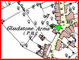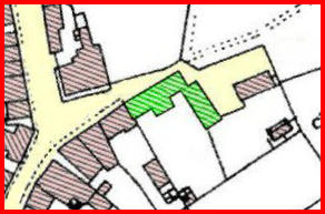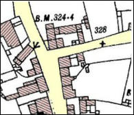
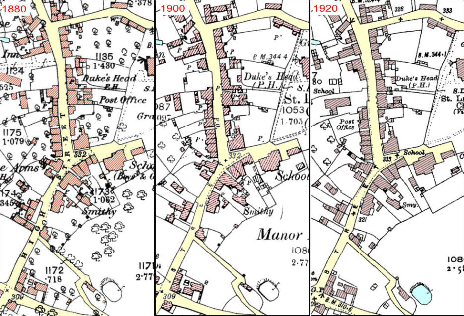
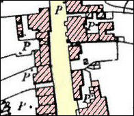
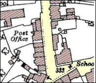
The three maps below are 25 inch to mile “County Series” Ordnance Survey maps and show how some parts of the High Street have changed over time. Click on any of the coloured spots below for further details. Click anywhere to close the pop-up
The map on the left of each group below shows the view of the photographs. Click any photo and it will be enlarged. Navigation buttons at the bottom of the enlarged photo allows you to move through the pictures or to run a slideshow.
Click any photo and it will be enlarged. Navigation buttons at the bottom of the enlarged photo allows you to move through the pictures or to run a slideshow.
High Street Post Office
East side of the High Street
West side of the High Street
Virtual tour of the High Street
The first reference we have to Gnosall High Street is in a Manorial Roll of 1592: “Thomas Warter has deposited his dung in the high street of Gnosall by which he has obstructed the said street to the hurt of the Queen’s lieges passing through the same.” However, in England generally, villages were growing up along a street (or around a green) back in the 8th and 9th centuries,1and the part of the street north of the Coop must be at least as old as the Saxon Church. There are medieval houses along this section. The lower part of the street must have developed later. Doley Brook and the boggy land surrounding it meant the present route to Newport may not have been in use until a causeway or bridge was constructed around the 14th century.2Buying was generally done at markets and fairs in medieval times but handmade items would be bought direct from the craftsmen, such as smiths, wheelwrights, carpenters and weavers.The 1841 census shows in the High Street area: tailors, saddlers, bakers, a cooper, butchers, publicans (The Duke’s Head and the Horns), a wheelwright, a milliner, a hairdresser, a grocer, a dressmaker, a turner, a keymaker and a blacksmith. There were several shoemakers but it’s unlikely they would be selling direct to the public1 Christopher Taylor, Roads and Tracks of Britain, 1979 2 Mike Corfield F. Potter
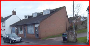
Properties now 3 x retail units but before the 1960s was 3 cottages as shown on the attached photograph
Horns InnLicensees1851Mary Cotton1862 Mrs. Machin1868William Jennings1878 Charles Brett1880Charles Dodd1881 William Dodd1891Louisa Greening1900Thomas Freeman1912Ann Mears1932Elizabeth Mc William1940Elizabeth Mc William
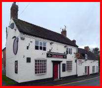
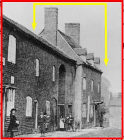
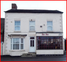
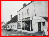
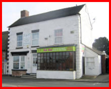
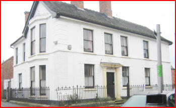
Duke’s Head(See photographs in Gallery below)Licensees1841 Thomas Betteley1851Joseph Whittle1868Emmea Podmore1880Samuel Addison1900Samuel Whitehouse1912John Grant1932Harry Cartwright1940Harry CartwrightHas been used since as Post Office, Electrical store, and Pet shop and is now private residence.
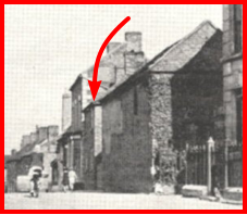
On Tithe Map of 1838 James Belcher was the occupier of House, Barn and Rickyard.It was later used by James Morrey, - Cooper.In 1910 it was still owned by the church. The site was cleared when the Infants school was built in 1915
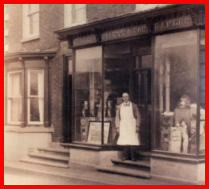
* Blackband family grocers early 1800s* William Morrey - Post Master 1860s until 1897.* Walwyns of Coton - Grocers* Richardson & Jones Grocers* C. Tabot - Grocers* 1980 Planning change of use to cateringProperty history timeline
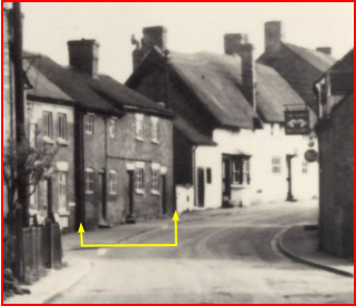
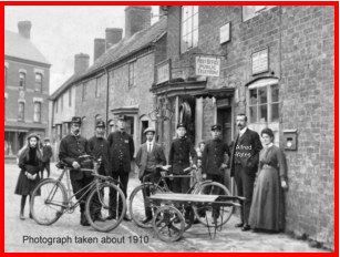
Probably from where John Yates ran his saddle making business in 1864.His son Alfred continued here and the property was used as the main Gnosall Post Office by:Alfred Yates - 1898 to 1936Mr Hague - 1936 to 1939Ted Halldearn - 1939 to 1959Property demolished shortly after
This building was used for many years in the early to mid 1900s as the Doctors Surgery for Dr Davies, Dr. Hill and Dr. Wassall. It seems that there was a thin wall between the waiting room and the consulting room, and the Doctor was a bit deaf so many patient’s ailments became common knowledge in the village.
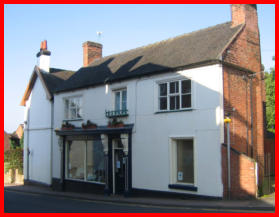
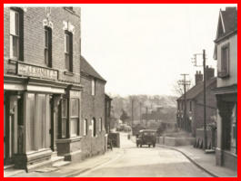
This was for many years used as a drapers & haberdashers by George Sidebotham, Miss Fox then Greens, before being used as a delicatessen.But this 1880 map shows that the property was a pub called the Gladstone Arms
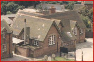
The Parochial School was built in 1875 and at that time was the main source of education in the village apart from the few private schools.The building with about 80 pupils during the 1880s had an infants room and 3 other classrooms. School leaving age at the time was 13.It was built on the site of the Workhouse, shaded in green on attached map excerptStopped being a school about 1980.
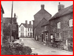
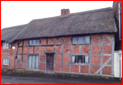
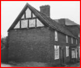
These two properties were a boarding school from at least 1824 to 1865 run by Thomas Parton.It seems they had also been used earlier as a grammar school run by Samuel Harley who died in 1824.The property was later used as a butchers shop by Daniel Meadows.
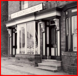
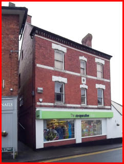
This property has been a grocery shop for many years.Samuel Addison from 1880.Thomas Campion was there in 1932 then Able Randall in 1947 and the Bowell family from 1955. In latter years it was bought by the Coop. Property history timeline
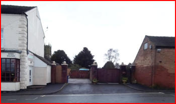
This was occupied by Michael Belcher in the 1800s, then Dick Hall who was a blacksmith with a smithy at the rear of these premises.The property was demolished in 1970 and replaced with a row of town houses.